- 1面试又蹦了?测试面试最热话题,该怎么答?资深测试带你详细解答......
- 2有关组件的知识点(非常详细)_组件技术知识点
- 3logistics回归分析+代码详解_logistics模型代码
- 4Linux线上服务器问题排查_linux 一次处理线上事故
- 5高度可定制应用程序仪表板homepage_homepage docker
- 6PTA A1059 Prime Factors:解题思路_pta b1059
- 7java后端社招面试经历_单台机器4核,服务a请求时间为5s,但是a调用的某个服务b耗时4.98s,a服务超时时间是1
- 8基于YOLOv8/YOLOv7/YOLOv6/YOLOv5的跌倒检测系统详解(深度学习模型+UI界面代码+训练数据集)_yolov7跌倒
- 9AI绘图:ComfyUI中图片放大与细节修复的终极指南_comfy ui 图像放大
- 10国企央企OFFER收割全攻略 | 银行篇之行业整体介绍_应届生银行求职全攻略
看完这篇文章,我彻底爱上了Python动态图表!
赞
踩
06 动态饼状图
covid_df = pd.read_csv(‘data/covid19.csv’, index_col=0, parse_dates=[0])
covid_df.plot_animated(filename=‘examples/example-pie-chart.gif’, kind=“pie”,
rotatelabels=True, period_label={‘x’: 0, ‘y’: 0})
07 动态气泡图
multi_index_df = pd.read_csv(“data/multi.csv”, header=[0, 1], index_col=0)
multi_index_df.index = pd.to_datetime(multi_index_df.index, dayfirst=True)
map_chart = multi_index_df.plot_animated(
kind=“bubble”,
filename=“examples/example-bubble-chart.gif”,
x_data_label=“Longitude”,
y_data_label=“Latitude”,
size_data_label=“Cases”,
color_data_label=“Cases”,
vmax=5, steps_per_period=3, interpolate_period=True, period_length=500,
dpi=100
)
08 地理空间点图表
import geopandas
import pandas_alive
import contextily
gdf = geopandas.read_file(‘data/nsw-covid19-cases-by-postcode.gpkg’)
gdf.index = gdf.postcode
gdf = gdf.drop(‘postcode’,axis=1)
result = gdf.iloc[:, :20]
result[‘geometry’] = gdf.iloc[:, -1:][‘geometry’]
map_chart = result.plot_animated(filename=‘examples/example-geo-point-chart.gif’,
basemap_format={‘source’:contextily.providers.Stamen.Terrain})
09 多边形地理图表
import geopandas
import pandas_alive
import contextily
gdf = geopandas.read_file(‘data/italy-covid-region.gpkg’)
gdf.index = gdf.region
gdf = gdf.drop(‘region’,axis=1)
result = gdf.iloc[:, :20]
result[‘geometry’] = gdf.iloc[:, -1:][‘geometry’]
map_chart = result.plot_animated(filename=‘examples/example-geo-polygon-chart.gif’,
basemap_format={‘source’: contextily.providers.Stamen.Terrain})
10 多个动态图表
covid_df = pd.read_csv(‘data/covid19.csv’, index_col=0, parse_dates=[0])
animated_line_chart = covid_df.diff().fillna(0).plot_animated(kind=‘line’, period_label=False,add_legend=False)
animated_bar_chart = covid_df.plot_animated(n_visible=10)
pandas_alive.animate_multiple_plots(‘examples/example-bar-and-line-chart.gif’,
[animated_bar_chart, animated_line_chart], enable_progress_bar=True)
11 城市人口
def population():
urban_df = pd.read_csv(“data/urban_pop.csv”, index_col=0, parse_dates=[0])
animated_line_chart = (
urban_df.sum(axis=1)
.pct_change()
.fillna(method=‘bfill’)
.mul(100)
.plot_animated(kind=“line”, title=“Total % Change in Population”, period_label=False, add_legend=False)
)
animated_bar_chart = urban_df.plot_animated(n_visible=10, title=‘Top 10 Populous Countries’, period_fmt=“%Y”)
pandas_alive.animate_multiple_plots(‘examples/example-bar-and-line-urban-chart.gif’,
[animated_bar_chart, animated_line_chart],
title=‘Urban Population 1977 - 2018’, adjust_subplot_top=0.85,
enable_progress_bar=True)
12 G7国家平均寿命
def life():
data_raw = pd.read_csv(“data/long.csv”)
list_G7 = [
“Canada”,
“France”,
“Germany”,
“Italy”,
“Japan”,
“United Kingdom”,
“United States”,
]
data_raw = data_raw.pivot(
index=“Year”, columns=“Entity”, values=“Life expectancy (Gapminder, UN)”
)
data = pd.DataFrame()
data[“Year”] = data_raw.reset_index()[“Year”]
for country in list_G7:
data[country] = data_raw[country].values
data = data.fillna(method=“pad”)
data = data.fillna(0)
data = data.set_index(“Year”).loc[1900:].reset_index()
data[“Year”] = pd.to_datetime(data.reset_index()[“Year”].astype(str))
data = data.set_index(“Year”)
data = data.iloc[:25, :]
animated_bar_chart = data.plot_animated(
period_fmt=“%Y”, perpendicular_bar_func=“mean”, period_length=200, fixed_max=True
)
animated_line_chart = data.plot_animated(
kind=“line”, period_fmt=“%Y”, period_length=200, fixed_max=True
)
pandas_alive.animate_multiple_plots(
“examples/life-expectancy.gif”,
plots=[animated_bar_chart, animated_line_chart],
title=“Life expectancy in G7 countries up to 2015”,
adjust_subplot_left=0.2, adjust_subplot_top=0.9, enable_progress_bar=True
)
13 新南威尔斯州COVID可视化
def nsw():
import geopandas
import pandas as pd
import pandas_alive
import contextily
import matplotlib.pyplot as plt
import json
with open(‘data/package_show.json’, ‘r’, encoding=‘utf8’)as fp:
data = json.load(fp)
# Extract url to csv component
covid_nsw_data_url = data[“result”][“resources”][0][“url”]
print(covid_nsw_data_url)
# Read csv from data API url
nsw_covid = pd.read_csv(‘data/confirmed_cases_table1_location.csv’)
postcode_dataset = pd.read_csv(“data/postcode-data.csv”)
# Prepare data from NSW health dataset
nsw_covid = nsw_covid.fillna(9999)
nsw_covid[“postcode”] = nsw_covid[“postcode”].astype(int)
grouped_df = nsw_covid.groupby([“notification_date”, “postcode”]).size()
grouped_df = pd.DataFrame(grouped_df).unstack()
grouped_df.columns = grouped_df.columns.droplevel().astype(str)
grouped_df = grouped_df.fillna(0)
grouped_df.index = pd.to_datetime(grouped_df.index)
cases_df = grouped_df
# Clean data in postcode dataset prior to matching
grouped_df = grouped_df.T
postcode_dataset = postcode_dataset[postcode_dataset[‘Longitude’].notna()]
postcode_dataset = postcode_dataset[postcode_dataset[‘Longitude’] != 0]
postcode_dataset = postcode_dataset[postcode_dataset[‘Latitude’].notna()]
postcode_dataset = postcode_dataset[postcode_dataset[‘Latitude’] != 0]
postcode_dataset[‘Postcode’] = postcode_dataset[‘Postcode’].astype(str)
# Build GeoDataFrame from Lat Long dataset and make map chart
grouped_df[‘Longitude’] = grouped_df.index.map(postcode_dataset.set_index(‘Postcode’)[‘Longitude’].to_dict())
grouped_df[‘Latitude’] = grouped_df.index.map(postcode_dataset.set_index(‘Postcode’)[‘Latitude’].to_dict())
gdf = geopandas.GeoDataFrame(
grouped_df, geometry=geopandas.points_from_xy(grouped_df.Longitude, grouped_df.Latitude), crs=“EPSG:4326”)
gdf = gdf.dropna()
# Prepare GeoDataFrame for writing to geopackage
gdf = gdf.drop([‘Longitude’, ‘Latitude’], axis=1)
gdf.columns = gdf.columns.astype(str)
gdf[‘postcode’] = gdf.index
# gdf.to_file(“data/nsw-covid19-cases-by-postcode.gpkg”, layer=‘nsw-postcode-covid’, driver=“GPKG”)
# Prepare GeoDataFrame for plotting
gdf.index = gdf.postcode
gdf = gdf.drop(‘postcode’, axis=1)
gdf = gdf.to_crs(“EPSG:3857”) # Web Mercator
result = gdf.iloc[:, :22]
result[‘geometry’] = gdf.iloc[:, -1:][‘geometry’]
gdf = result
map_chart = gdf.plot_animated(basemap_format={‘source’: contextily.providers.Stamen.Terrain}, cmap=‘cool’)
# cases_df.to_csv(‘data/nsw-covid-cases-by-postcode.csv’)
cases_df = cases_df.iloc[:22, :]
from datetime import datetime
bar_chart = cases_df.sum(axis=1).plot_animated(
kind=‘line’,
label_events={
‘Ruby Princess Disembark’: datetime.strptime(“19/03/2020”, “%d/%m/%Y”),
# ‘Lockdown’: datetime.strptime(“31/03/2020”, “%d/%m/%Y”)
},
fill_under_line_color=“blue”,
add_legend=False
)
map_chart.ax.set_title(‘Cases by Location’)
grouped_df = pd.read_csv(‘data/nsw-covid-cases-by-postcode.csv’, index_col=0, parse_dates=[0])
grouped_df = grouped_df.iloc[:22, :]
line_chart = (
grouped_df.sum(axis=1)
.cumsum()
.fillna(0)
.plot_animated(kind=“line”, period_label=False, title=“Cumulative Total Cases”, add_legend=False)
)
def current_total(values):
total = values.sum()
s = f’Total : {int(total)}’
return {‘x’: .85, ‘y’: .2, ‘s’: s, ‘ha’: ‘right’, ‘size’: 11}
race_chart = grouped_df.cumsum().plot_animated(
n_visible=5, title=“Cases by Postcode”, period_label=False, period_summary_func=current_total
)
import time
timestr = time.strftime(“%d/%m/%Y”)
plots = [bar_chart, line_chart, map_chart, race_chart]
from matplotlib import rcParams
rcParams.update({“figure.autolayout”: False})
# make sure figures are Figure() instances
figs = plt.Figure()
gs = figs.add_gridspec(2, 3, hspace=0.5)
f3_ax1 = figs.add_subplot(gs[0, :])
f3_ax1.set_title(bar_chart.title)
bar_chart.ax = f3_ax1
f3_ax2 = figs.add_subplot(gs[1, 0])
f3_ax2.set_title(line_chart.title)
line_chart.ax = f3_ax2
f3_ax3 = figs.add_subplot(gs[1, 1])
f3_ax3.set_title(map_chart.title)
map_chart.ax = f3_ax3
f3_ax4 = figs.add_subplot(gs[1, 2])
f3_ax4.set_title(race_chart.title)
race_chart.ax = f3_ax4
timestr = cases_df.index.max().strftime(“%d/%m/%Y”)
figs.suptitle(f"NSW COVID-19 Confirmed Cases up to {timestr}")
pandas_alive.animate_multiple_plots(
‘examples/nsw-covid.gif’,
plots,
figs,
enable_progress_bar=True
)
14 意大利COVID可视化****
def italy():
import geopandas
import pandas as pd
import pandas_alive
import contextily
import matplotlib.pyplot as plt
region_gdf = geopandas.read_file(‘data/geo-data/italy-with-regions’)
region_gdf.NOME_REG = region_gdf.NOME_REG.str.lower().str.title()
region_gdf = region_gdf.replace(‘Trentino-Alto Adige/Sudtirol’, ‘Trentino-Alto Adige’)
region_gdf = region_gdf.replace(“Valle D’Aosta/Vallée D’Aoste\r\nValle D’Aosta/Vallée D’Aoste”, “Valle d’Aosta”)
italy_df = pd.read_csv(‘data/Regional Data - Sheet1.csv’, index_col=0, header=1, parse_dates=[0])
italy_df = italy_df[italy_df[‘Region’] != ‘NA’]
cases_df = italy_df.iloc[:, :3]
cases_df[‘Date’] = cases_df.index
pivoted = cases_df.pivot(values=‘New positives’, index=‘Date’, columns=‘Region’)
pivoted.columns = pivoted.columns.astype(str)
pivoted = pivoted.rename(columns={‘nan’: ‘Unknown Region’})
cases_gdf = pivoted.T
cases_gdf[‘geometry’] = cases_gdf.index.map(region_gdf.set_index(‘NOME_REG’)[‘geometry’].to_dict())
cases_gdf = cases_gdf[cases_gdf[‘geometry’].notna()]
cases_gdf = geopandas.GeoDataFrame(cases_gdf, crs=region_gdf.crs, geometry=cases_gdf.geometry)
gdf = cases_gdf
result = gdf.iloc[:, :22]
result[‘geometry’] = gdf.iloc[:, -1:][‘geometry’]
gdf = result
map_chart = gdf.plot_animated(basemap_format={‘source’: contextily.providers.Stamen.Terrain}, cmap=‘viridis’)
cases_df = pivoted
cases_df = cases_df.iloc[:22, :]
from datetime import datetime
bar_chart = cases_df.sum(axis=1).plot_animated(
kind=‘line’,
label_events={
‘Schools Close’: datetime.strptime(“4/03/2020”, “%d/%m/%Y”),
‘Phase I Lockdown’: datetime.strptime(“11/03/2020”, “%d/%m/%Y”),
# ‘1M Global Cases’: datetime.strptime(“02/04/2020”, “%d/%m/%Y”),
# ‘100k Global Deaths’: datetime.strptime(“10/04/2020”, “%d/%m/%Y”),
# ‘Manufacturing Reopens’: datetime.strptime(“26/04/2020”, “%d/%m/%Y”),
# ‘Phase II Lockdown’: datetime.strptime(“4/05/2020”, “%d/%m/%Y”),
},
fill_under_line_color=“blue”,
add_legend=False
)
map_chart.ax.set_title(‘Cases by Location’)
line_chart = (
cases_df.sum(axis=1)
.cumsum()
.fillna(0)
.plot_animated(kind=“line”, period_label=False, title=“Cumulative Total Cases”, add_legend=False)
)
def current_total(values):
total = values.sum()
s = f’Total : {int(total)}’
return {‘x’: .85, ‘y’: .1, ‘s’: s, ‘ha’: ‘right’, ‘size’: 11}
race_chart = cases_df.cumsum().plot_animated(
n_visible=5, title=“Cases by Region”, period_label=False, period_summary_func=current_total
)
import time
timestr = time.strftime(“%d/%m/%Y”)
plots = [bar_chart, race_chart, map_chart, line_chart]
# Otherwise titles overlap and adjust_subplot does nothing
from matplotlib import rcParams
from matplotlib.animation import FuncAnimation
rcParams.update({“figure.autolayout”: False})
# make sure figures are Figure() instances
figs = plt.Figure()
gs = figs.add_gridspec(2, 3, hspace=0.5)
f3_ax1 = figs.add_subplot(gs[0, :])
f3_ax1.set_title(bar_chart.title)
bar_chart.ax = f3_ax1
f3_ax2 = figs.add_subplot(gs[1, 0])
f3_ax2.set_title(race_chart.title)
race_chart.ax = f3_ax2
f3_ax3 = figs.add_subplot(gs[1, 1])
f3_ax3.set_title(map_chart.title)
map_chart.ax = f3_ax3
f3_ax4 = figs.add_subplot(gs[1, 2])
f3_ax4.set_title(line_chart.title)
line_chart.ax = f3_ax4
axes = [f3_ax1, f3_ax2, f3_ax3, f3_ax4]
timestr = cases_df.index.max().strftime(“%d/%m/%Y”)
figs.suptitle(f"Italy COVID-19 Confirmed Cases up to {timestr}")
pandas_alive.animate_multiple_plots(
‘examples/italy-covid.gif’,
plots,
figs,
enable_progress_bar=True
)
15 单摆运动
def simple():
import pandas as pd
import matplotlib.pyplot as plt
import pandas_alive
import numpy as np
# Physical constants
g = 9.81
L = .4
mu = 0.2
THETA_0 = np.pi * 70 / 180 # init angle = 70degs
THETA_DOT_0 = 0 # no init angVel
DELTA_T = 0.01 # time stepping
T = 1.5 # time period
# Definition of ODE (ordinary differential equation)
def get_theta_double_dot(theta, theta_dot):
return -mu * theta_dot - (g / L) * np.sin(theta)
# Solution to the differential equation
def pendulum(t):
# initialise changing values
theta = THETA_0
theta_dot = THETA_DOT_0
delta_t = DELTA_T
ang = []
ang_vel = []
ang_acc = []
times = []
for time in np.arange(0, t, delta_t):
theta_double_dot = get_theta_double_dot(
theta, theta_dot
)
theta += theta_dot * delta_t
theta_dot += theta_double_dot * delta_t
times.append(time)
ang.append(theta)
ang_vel.append(theta_dot)
ang_acc.append(theta_double_dot)
data = np.array([ang, ang_vel, ang_acc])
return pd.DataFrame(data=data.T, index=np.array(times), columns=[“angle”, “ang_vel”, “ang_acc”])
# units used for ref: [“angle [rad]”, “ang_vel [rad/s]”, “ang_acc [rad/s^2]”]
df = pendulum(T)
df.index.names = [“Time (s)”]
print(df)
# generate dataFrame for animated bubble plot
df2 = pd.DataFrame(index=df.index)
df2[“dx (m)”] = L * np.sin(df[“angle”])
df2[“dy (m)”] = -L * np.cos(df[“angle”])
df2[“ang_vel”] = abs(df[“ang_vel”])
df2[“size”] = df2[“ang_vel”] * 100 # scale angular vels to get nice size on bubble plot
print(df2)
# static pandas plots
# print(plt.style.available)
# NOTE: 2 lines below required in Jupyter to switch styles correctly
plt.rcParams.update(plt.rcParamsDefault)
plt.style.use(“ggplot”) # set plot style
fig, (ax1a, ax2b) = plt.subplots(1, 2, figsize=(8, 4), dpi=100) # 1 row, 2 subplots
# fig.subplots_adjust(wspace=0.1) # space subplots in row
fig.set_tight_layout(True)
fontsize = “small”
df.plot(ax=ax1a).legend(fontsize=fontsize)
ax1a.set_title(“Outputs vs Time”, fontsize=“medium”)
ax1a.set_xlabel(‘Time [s]’, fontsize=fontsize)
ax1a.set_ylabel(‘Amplitudes’, fontsize=fontsize);
df.plot(ax=ax2b, x=“angle”, y=[“ang_vel”, “ang_acc”]).legend(fontsize=fontsize)
ax2b.set_title(“Outputs vs Angle | Phase-Space”, fontsize=“medium”)
ax2b.set_xlabel(‘Angle [rad]’, fontsize=fontsize)
ax2b.set_ylabel(‘Angular Velocity / Acc’, fontsize=fontsize)
# sample scatter plot with colorbar
fig, ax = plt.subplots()
sc = ax.scatter(df2[“dx (m)”], df2[“dy (m)”], s=df2[“size”] * .1, c=df2[“ang_vel”], cmap=“jet”)
cbar = fig.colorbar(sc)
cbar.set_label(label=“ang_vel [rad/s]”, fontsize=“small”)
# sc.set_clim(350, 400)
ax.tick_params(labelrotation=0, labelsize=“medium”)
ax_scale = 1.
ax.set_xlim(-L * ax_scale, L * ax_scale)
ax.set_ylim(-L * ax_scale - 0.1, L * ax_scale - 0.1)
# make axes square: a circle shows as a circle
ax.set_aspect(1 / ax.get_data_ratio())
ax.arrow(0, 0, df2[“dx (m)”].iloc[-1], df2[“dy (m)”].iloc[-1],
color=“dimgray”, ls=“:”, lw=2.5, width=.0, head_width=0, zorder=-1
)
ax.text(0, 0.15, s=“size and colour of pendulum bob\nbased on pd column\nfor angular velocity”,
ha=‘center’, va=‘center’)
# plt.show()
dpi = 100
ax_scale = 1.1
figsize = (3, 3)
fontsize = “small”
# set up figure to pass onto pandas_alive
# NOTE: by using Figure (capital F) instead of figure() FuncAnimation seems to run twice as fast!
# fig1, ax1 = plt.subplots()
fig1 = plt.Figure()
自我介绍一下,小编13年上海交大毕业,曾经在小公司待过,也去过华为、OPPO等大厂,18年进入阿里一直到现在。
深知大多数Python工程师,想要提升技能,往往是自己摸索成长或者是报班学习,但对于培训机构动则几千的学费,着实压力不小。自己不成体系的自学效果低效又漫长,而且极易碰到天花板技术停滞不前!
因此收集整理了一份《2024年Python开发全套学习资料》,初衷也很简单,就是希望能够帮助到想自学提升又不知道该从何学起的朋友,同时减轻大家的负担。

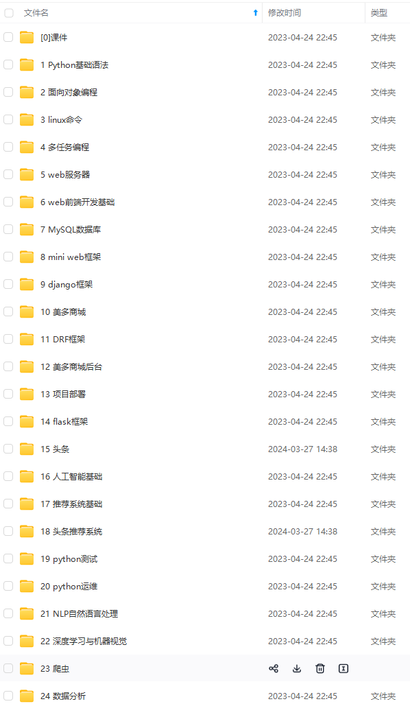
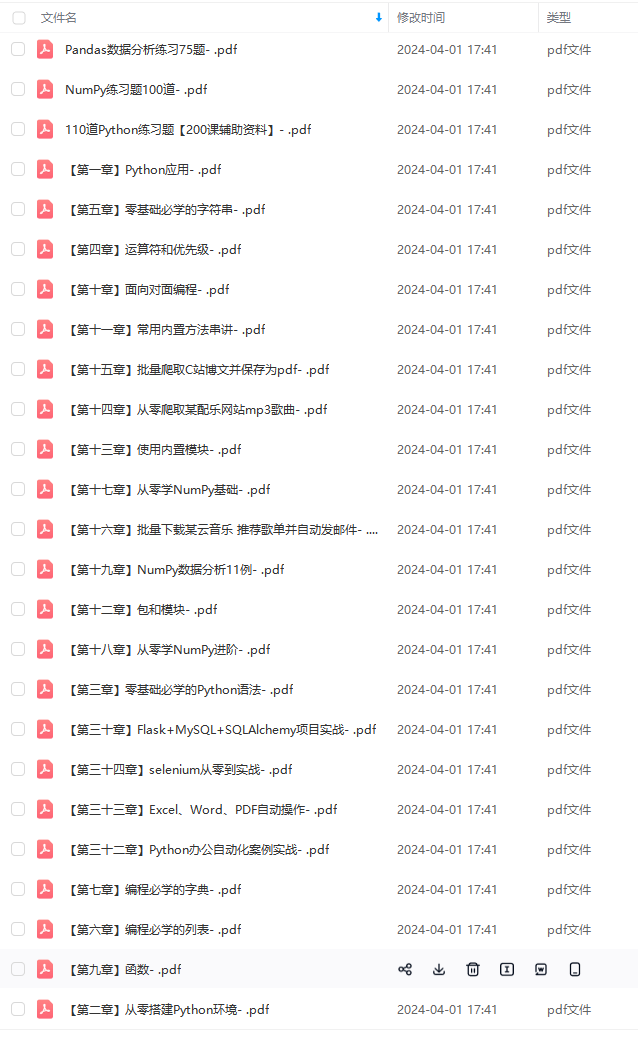
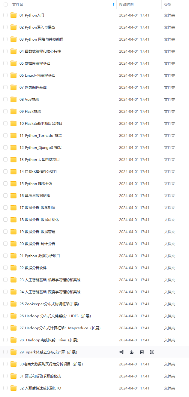

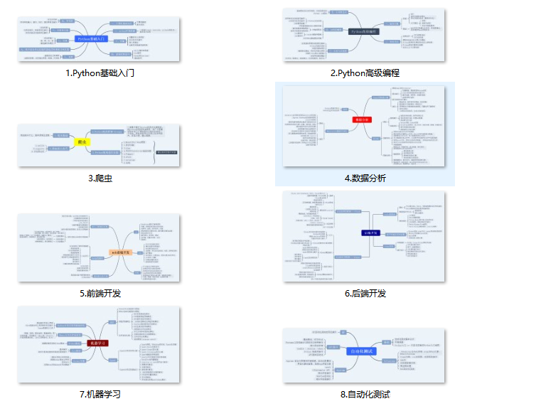
既有适合小白学习的零基础资料,也有适合3年以上经验的小伙伴深入学习提升的进阶课程,基本涵盖了95%以上前端开发知识点,真正体系化!
由于文件比较大,这里只是将部分目录大纲截图出来,每个节点里面都包含大厂面经、学习笔记、源码讲义、实战项目、讲解视频,并且后续会持续更新
如果你觉得这些内容对你有帮助,可以扫码获取!!!(备注Python)
enter’, va=‘center’)
# plt.show()
dpi = 100
ax_scale = 1.1
figsize = (3, 3)
fontsize = “small”
# set up figure to pass onto pandas_alive
# NOTE: by using Figure (capital F) instead of figure() FuncAnimation seems to run twice as fast!
# fig1, ax1 = plt.subplots()
fig1 = plt.Figure()
自我介绍一下,小编13年上海交大毕业,曾经在小公司待过,也去过华为、OPPO等大厂,18年进入阿里一直到现在。
深知大多数Python工程师,想要提升技能,往往是自己摸索成长或者是报班学习,但对于培训机构动则几千的学费,着实压力不小。自己不成体系的自学效果低效又漫长,而且极易碰到天花板技术停滞不前!
因此收集整理了一份《2024年Python开发全套学习资料》,初衷也很简单,就是希望能够帮助到想自学提升又不知道该从何学起的朋友,同时减轻大家的负担。
[外链图片转存中…(img-hMExmGdF-1713246226630)]
[外链图片转存中…(img-O5vcLaZi-1713246226631)]
[外链图片转存中…(img-HbbcpLK6-1713246226631)]
[外链图片转存中…(img-B3XhrSKr-1713246226631)]


既有适合小白学习的零基础资料,也有适合3年以上经验的小伙伴深入学习提升的进阶课程,基本涵盖了95%以上前端开发知识点,真正体系化!
由于文件比较大,这里只是将部分目录大纲截图出来,每个节点里面都包含大厂面经、学习笔记、源码讲义、实战项目、讲解视频,并且后续会持续更新
如果你觉得这些内容对你有帮助,可以扫码获取!!!(备注Python)


